
Land & Utility Surveying
Topographical Surveying
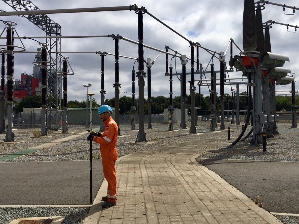
With the latest, state-of-the-art GPS and robotic surveying equipment, ADP can carry out part or full site topographical surveys, UK wide on a range of sites.
Land survey
Detailed site drawings
With the latest, state-of-the-art GPS & robotic surveying equipment, ADP can carry out part or full site topographical surveys, UK wide on a range of sites. ADP accurately provide clients with all the site information that they require.
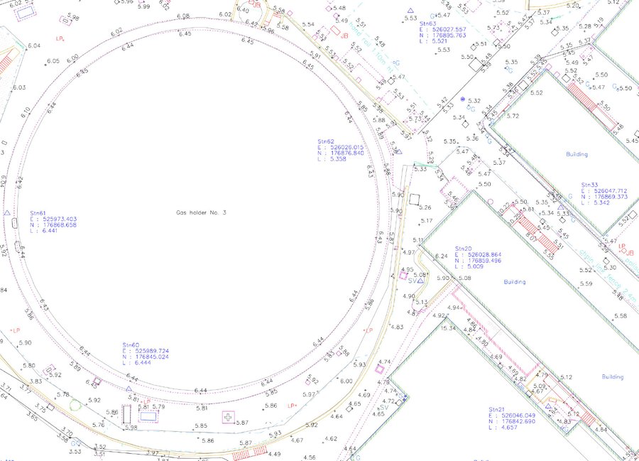
We can provide architects, developers and other parties with accurate drawings (in AutoCAD DWG, PDF format and/or paper copies) of their site or land.
We are able to offer 2D or 3D form which provides the precise locations of static features such as buildings, kerb lines, fences, trees, street furniture and service covers, all of this is combined with height levels and/or contours to aid in the design and development.
Levelling & setting-out
Borehole and trial pit levelling and setting-out
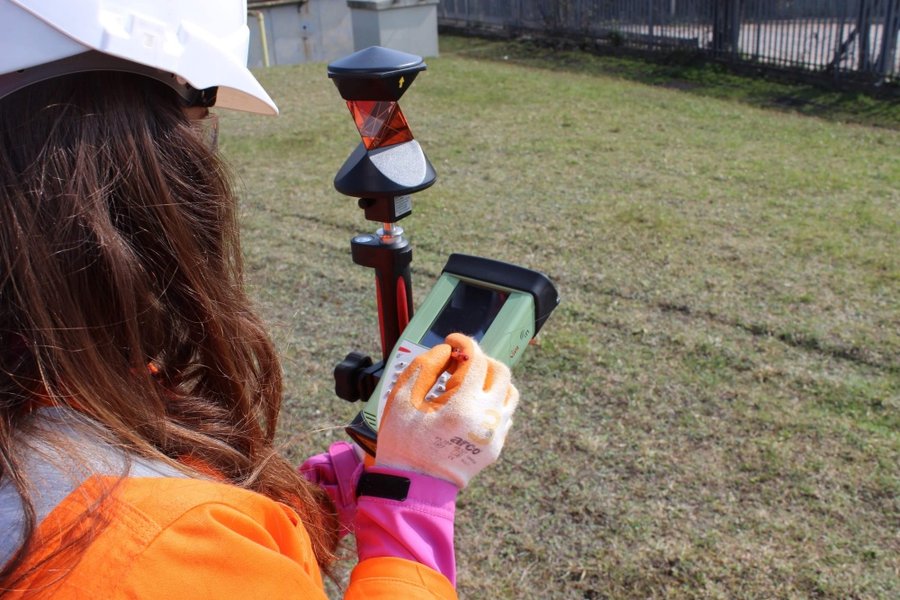
Providing accurate coordinates (OS or Arbitrary via DWG or Excel spreadsheet) for pre or post installed borehole or trial-pit locations.
ADP can also offer a setting out service from pre-existing plans or drawings.
Need a site survey?
Tell us what you need drawn up and we'll quote a topographical survey.
Get a quote