
Land & Utility Surveying
Know what's underground
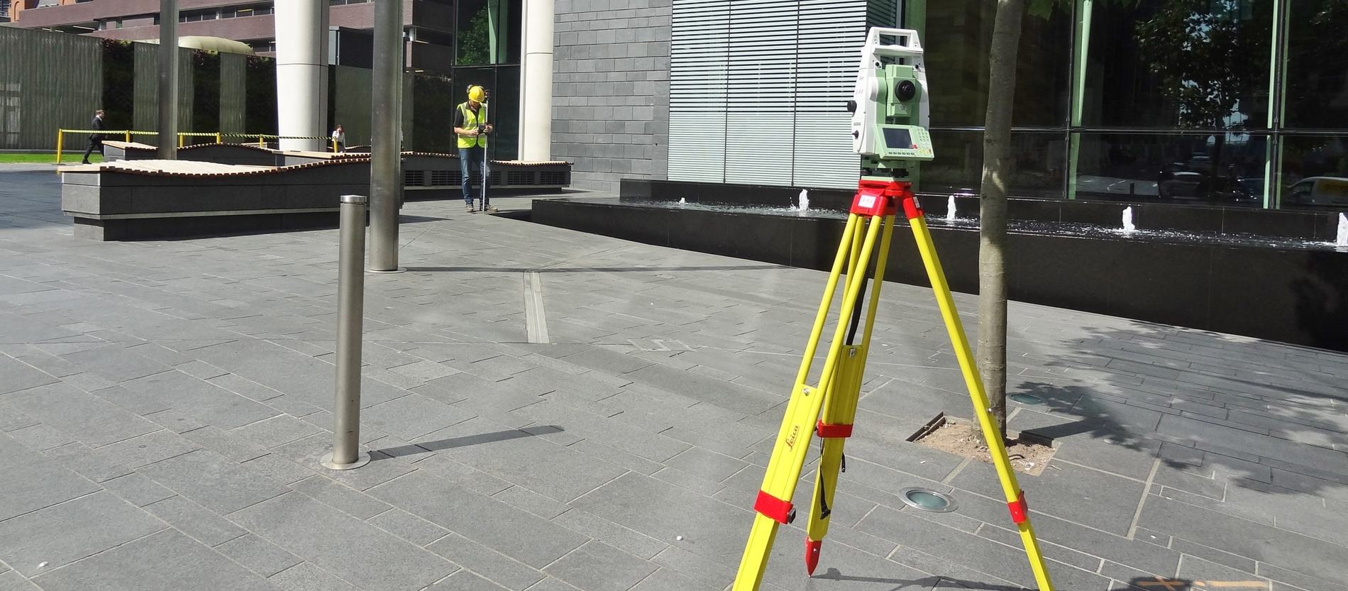
Service and utility clearance, robust utility mapping to PAS128, and topographical surveying, using different types of state-of-the-art technology to give a better understanding of what lies beneath.
What we offer
Land & utility surveying services
Service/Utility Clearance
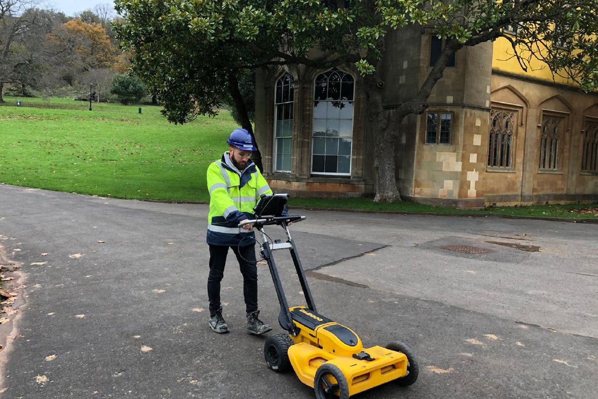
The perfect solution for anybody wishing to have all underground services and buried apparatus located and clearly marked on the surface, or borehole/excavation locations cleared of buried services prior to breaking ground.
Read more →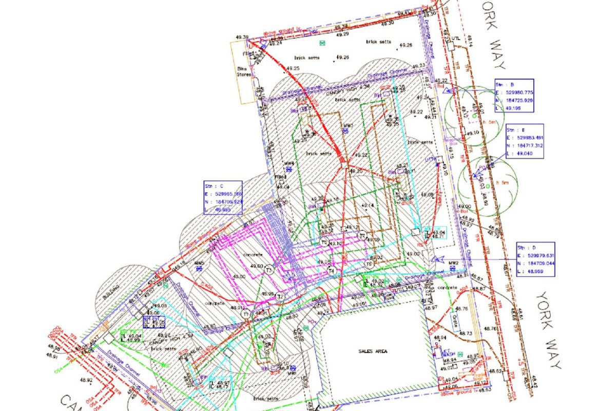
Robust Utility Mapping
A full, robust utility map is the perfect solution for anybody wishing to locate and record underground apparatus and services - reducing the risk of a service strike with a detailed utility drawing indicating type, position and depth.
Read more →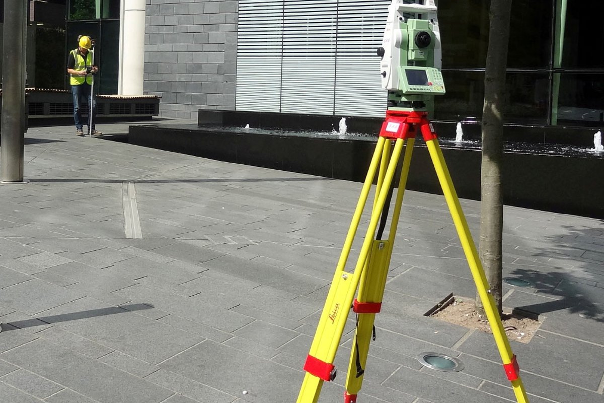
Topographical Surveying
With the latest, state-of-the-art GPS and robotic surveying equipment, ADP can carry out part or full site topographical surveys, UK wide, providing accurate 2D or 3D drawings of your site or land.
Read more →Surveying FAQs
Clearing and mapping utilities before anyone breaks ground.
How do you avoid striking underground services before drilling?
Every hole starts with service clearance. We locate and mark buried apparatus using electromagnetic locating (CAT and genny) and ground-penetrating radar (GPR), and where a position needs proving we physically expose it with vacuum excavation before a rig breaks ground. It keeps crews safe and protects live services and third-party assets.
Can you provide the utility survey and PAS 128 mapping as well as the drilling?
Yes - we are one of the few ground investigation contractors that can do the survey and the drilling under one roof. Our surveyors deliver service and utility clearance, robust utility mapping to PAS 128 and topographical surveys using Leica and Topcon equipment, so you can commission the pre-drilling survey and the intrusive works from a single accountable contractor.
Do you offer vacuum excavation?
Yes. Our vacuum excavation is an intrinsically safe way to uncover and expose buried services, form inspection pits and clear borehole positions before drilling, with no mechanical digging around live apparatus. It pairs naturally with our clearance and PAS 128 survey work.